

A Closer Look at Closing Documents
In each county a recorder of deeds keeps documents that show the makeup of the neighborhoods and the individual properties in the county, and the history of the titles. In addition to the real estate deed and creditors’ liens, there are plat maps.
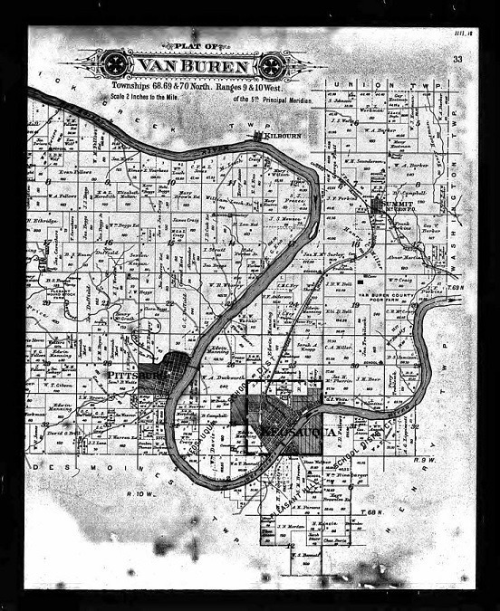
Plat maps are created under the state’s property code. They represent aggregates of plots — the properties, with their individual parcel numbers, that make up a neighborhood and are individually taxed.
All the streets are numbered. Every piece of property has a builder’s lot number, going back to when the subdivision was created.
Why Should a Buyer or Homeowner Care About Plats?
Well, a home buyer will want to know that what is visible to the eye, and what is on the property description, matches the aspects that appear on the plat map. If mismatches are found, this knowledge can help a prospective buyer make a fairer offer than the listing price.
Later, they come into a title search, and the issuance of title insurance. So, the buyer needs to find the plat among the closing documents.
And the new owner will need to hold onto the document for any future refinancing. The plat will also be needed if the owner will make home improvements that require official permits.
Note: Most but not all property is platted. Some properties, outside of subdivisions, have been outlined by “metes and bounds” but are not part of a subdivision, and remain unplatted.
What Can a Plat Map Tell a Home Buyer?
Plat maps help an owner get an idea of the shape, dimensions, and orientation of the parcel. With a look at the map it’s simple to visualize, say, a deck that faces west to capture the afternoon sun — and to be sure that deck wouldn’t obstruct a utility company’s right of access.
Specifically, the homeowner’s plat map (or “plat”):
- Outlines the properties’ measurements and each property’s position among the other lots in the subdivision.
- Shows streets and borderlines that mark each property’s physical boundaries. This allows a homeowner to make sure any modifications are done within the lines, and that encroachments are not being built by the neighbors.
- Indicates the flood zones, where they exist. The flood maps factor into lending decisions, and some properties require special flood insurance.
- Shows where the utility access points and other easements are. It’s important that a homebuyer knows, and is prepared not to place obstructions on those areas.
These maps also show the presence of natural lands, parks, trails, alleys, sport fields and recreational structures, wetlands and rivers.
Is There Any Point in Ordering a New Survey?
There is the plat map, and there is also the survey. Plats, like deeds, are public documents — while a survey is ordered by the property owner to verify the information on the deed and on the plat map.
Both the plat map and the survey can show you the size, orientation, and dimensions of a parcel. Both can show you its exact location, in relation to the surrounding parcels and streets. But a survey is more robust. It shows improvements on the land in detail. You’ll see the buildings, walkways, driveways, fences, and any accessories added to the property.
Where the buyer is getting property with certain easements or encroachments, or flooding could be changing the terrain, the report of a licensed property surveyor can be crucial. Read on for more about these situations.
Now, there is a cost to getting a new survey. Because they take on liability for what they report, licensed surveyors charge several hundred dollars to do the work. The more complex the landscape, the higher the cost. Is it worth it? Let’s see.
What Will a New Survey Show?
A new survey will reveal any improvements made on the parcel since the plat map was drawn up. This can ensure the owner’s legal description is currently accurate.
What else can change over time that a survey will show? Utility companies sometimes build out their systems. A stream or coastal border can erode the land, or the surveyor could find new vulnerability to tidal river flooding. People next door build new fences.
Reminder: Always call before you dig on your property! Notify the utility companies of your intent by calling 811 the week before you want to dig.
Sometimes, buyers turn out to be happy with everything they find on the deed, the plat, and the latest survey. But there can be discoveries that ruin a buyer’s personal plans to improve or use the property.
Encroachment? Easements? What’s the Difference?
An encroachment occurs when the neighbors have built or are using something on the homeowner’s property. Because this impacts the property value, a seller should resolve these issues before closing, or negotiate a fair and appropriate price compromise. So, the survey can make a buyer a knowledgeable negotiator.
An easement shows where others parties have legal access to a part of the property. For example, a right of way might have been allocated to some future plans to build a cell tower or an access road. A current survey can help to assess such issues before they become unpleasant surprises for the buyer.
Some of these issues are relatively common and unproblematic. Easements might provide access for electrical or water companies. There is also the private easement, which means a homeowner has given someone else rights of access to the property. Perhaps the owner would like to sell an easement to someone who wants access to a road or utility service. Or perhaps the owner agreed to give an access easement to hikers.
Do You Own More Property Than You Think?
Sometimes, an owner gets curious several years into homeownership. Maybe the owner wants to put a fence up, and doesn’t want to sell the property short when doing it. Getting a new survey of the property could be enlightening!
Accurately mapped property lines might show that the property has more footage than what was documented in the purchase. Once a new survey is produced, the homeowner has a binding legal document proving the actual dimensions of the parcel.
Finally… When Does a Plat Have to Be Revised?
A local real estate lawyer can advise you about any mismatches between a home’s legal description, the plat and the property survey, and how to avoid risks. If the property has changed, an amended plat map could be needed to update the existing plat map.
Supporting References
Deeds.com: Recorder Information.
Deeds.com: How Real Estate Legal Descriptions and Surveys Work Together (Aug. 12, 2019).
The Government of Pleasanton, Texas: Plat vs. Survey – What’s the Difference? (PDF).
CourthouseDirect.com: What Is a Plat Map? The Basics You Should Know (Oct. 17, 2018).
Lisa Kaplan Gordon for Realtor.com: What Is a Plat Map? A Survey That Can Tell You a Lot About Your Property (Mar. 30, 2022).
Alison Bentley for Redfin.com: Plat Maps: What They Are and How to Find One for Your Property (Mar. 3, 2022).
Photo credits: The Government of Davis County, Utah: Property Search by Cüneyt Rıza Çelik (CC by-SA 4.0 International); and Abner Martin via Wikimedia.org: Van Buren County, Iowa Plat Map (no changes made).